
This page collects together selected software and data I have produced as part of my commitment to open science.
Software
pDEMtools
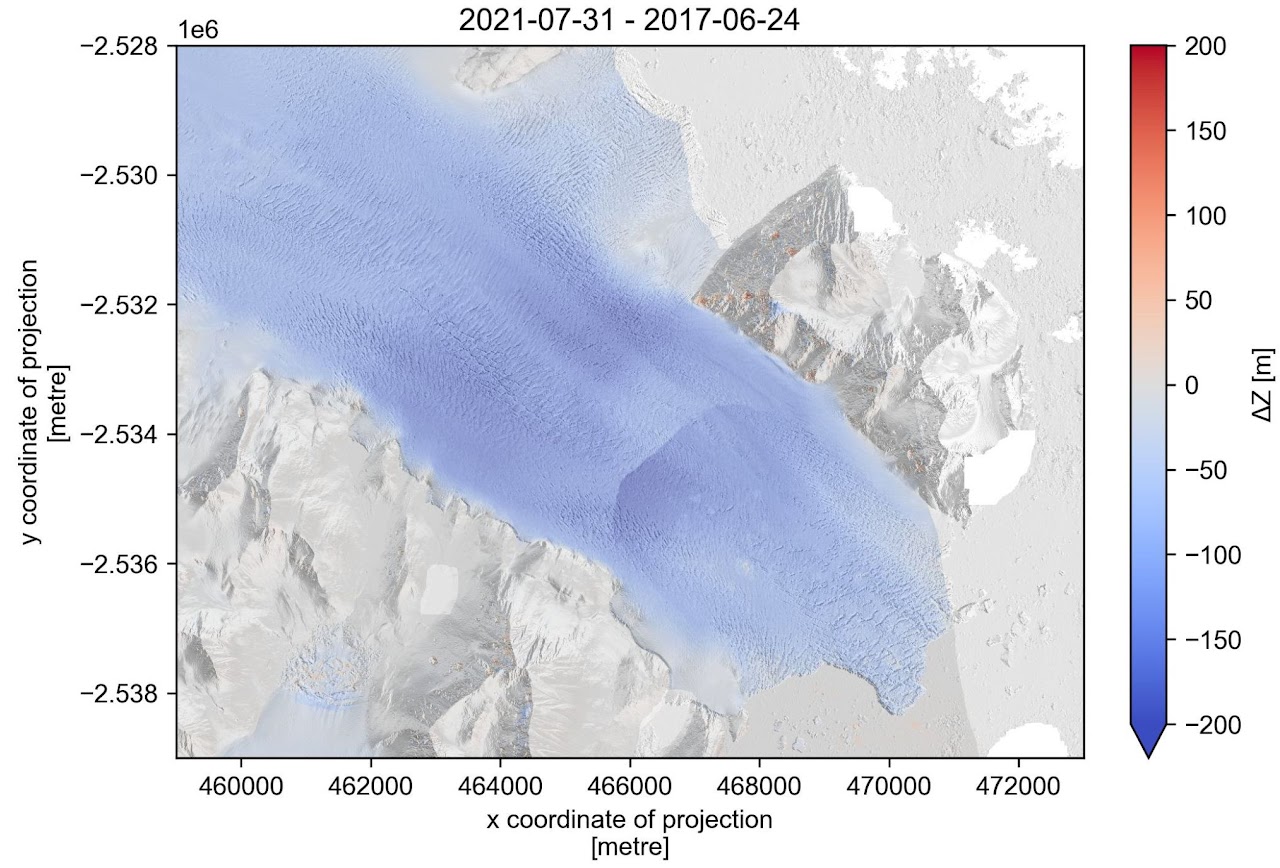


pDEMtools is a Python package that provides a convenient set of functions to explore, download, and preprocess high-resolution Digital Elevation Models (DEMs) of the polar regions from the ArcticDEM and Reference Elevation Model of Antarctica (REMA) datasets, courtesy of the Polar Geospatial Center. It allows for conveninent searching and downloading of DEMs, as well as preprocessing functions including coregistration, terrain attribute derivation (hillshade, slope, curvature, etc.), and iceberg detection.
It can be installed via conda or mamba:
conda install -c conda-forge pdemtools
A software paper has been published in the Journal of Open Source Software, documentation is available online, and the package is in active use by a number of research groups for data management and scientific analysis. I am happy to be contacted with any queries regarding its use.
Glacier Strain Tools

Glacier strain tools is a Python package for deriving surface-parallel strain rates from glacier velocity fields (e.g. ITS_LIVE, MEaSUREs, PROMICE, etc.). Functionality includes:
- Logarithmic and nominal strain-rate calculations
- Principal, longitudinal, transverse, shear, and effective strain rates
- Strain-rate uncertainty estimates
- Deviatoric and Cauchy stress conversion from strain rates
It can be installed via conda or mamba:
conda install -c conda-forge glacier-strain-tools
Documentation is available online, and I am happy to be contacted with queries and recommendations.
crevDEM
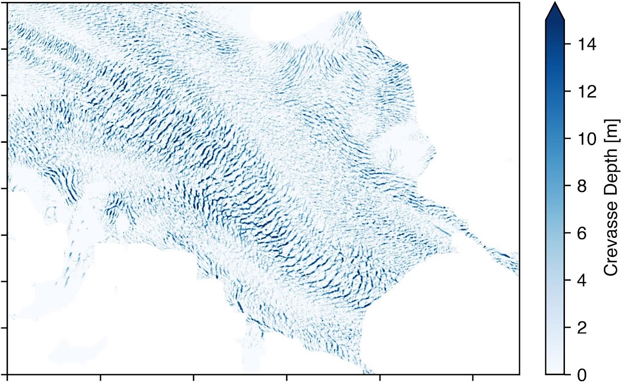
crevDEM is a Python package for extracting crevasse location and volume from high-resolution Digital Elevation Models (DEMs) of glaciers and ice sheets. It is the software accompaniment to Chudley et al. (2025, Nat. Geosci.).
The software and explanatory notebooks are available on GitHub.
Resources
Guide to Geospatial Python for Glaciology

This Jupyter Book is designed to get beginners up and running with using Python for geospatial programming tasks. It is aimed at my colleagues, students, and collaborators within glaciology, but has found use with a broader audience.
Greenland Ice Sheet Discharge Explorer
This online widget visualises the ‘living dataset’ of Greenland’s ice charge hosted by GEUS (Mankoff et al. 2020). Users can view time-series datasets for the whole ice sheet as well as individual regions and sectors, as well as download CSV files for their own use.
Data
Greenland Crevasse Map
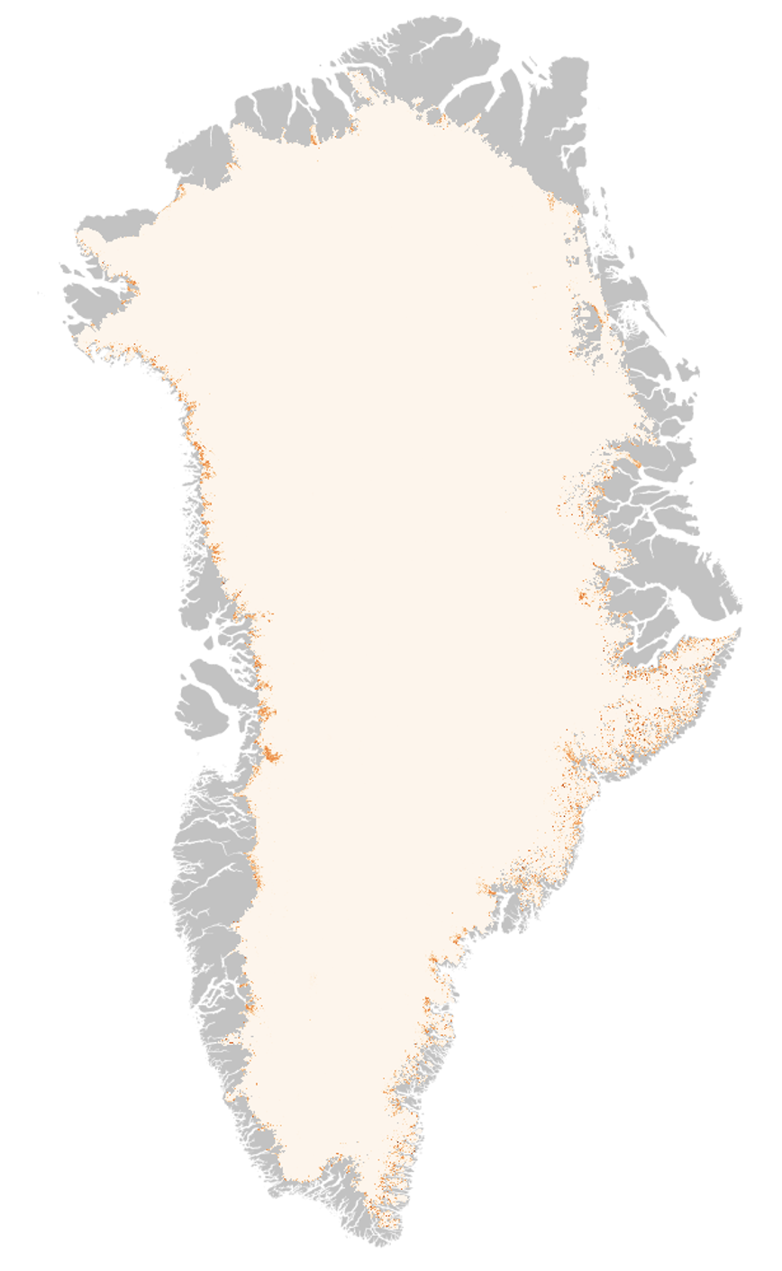

This dataset expands the crevasse mapping technique outlined in Chudley et al. (2021) to the entire continent. It contains crevasse locations identified from the ArcticDEM v3 mosaic. There are two primary products: a 2 m binary crevasse map, and a 200 m crevasse fraction map.
It is available to download from Zenodo.
It has seen use as part of large-scale physical studies of the Greenland Ice Sheet, including Christmann et al. (2021) and Grinsted et al. (2024).